
Lytle Creek
The Proposed Lone Pine Canyon Quarry and its Potential Impact on your Community
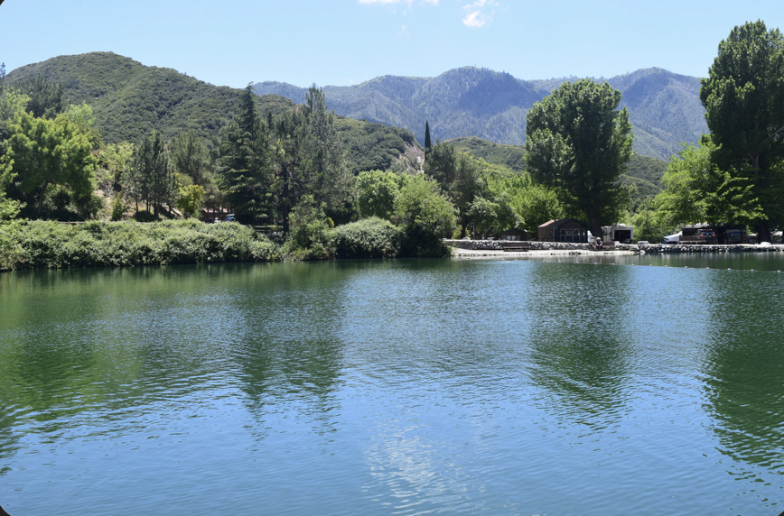
PROTECT LYTLE CREEK'S WATER
What Would Happen to Lytle Creek’s Water and Air Quality?
Our Water. Our Health. Our Future.
The proposed Lone Pine Canyon Quarry isn't just a concern for Wrightwood. It raises serious questions for neighboring communities, including Lytle Creek, where residents depend on groundwater for drinking water, daily life, and emergency fire protection.
The proposed mining operation would involve deep excavation in a complex mountain environment where groundwater, geological fractures, and drainage systems are most likely interconnected.
Before mining moves forward, our communities deserve answers about what could happen to the water beneath our feet.
The Lone Pine Canyon Protection Alliance is calling for comprehensive, independent groundwater studies and a full Environmental Impact Report to evaluate these risks.
CONCERNS
1. LYTLE CREEK DEPENDS ON ITS GROUNDWATER
A Proposed Excavation Reaching 1,600 Feet Deep
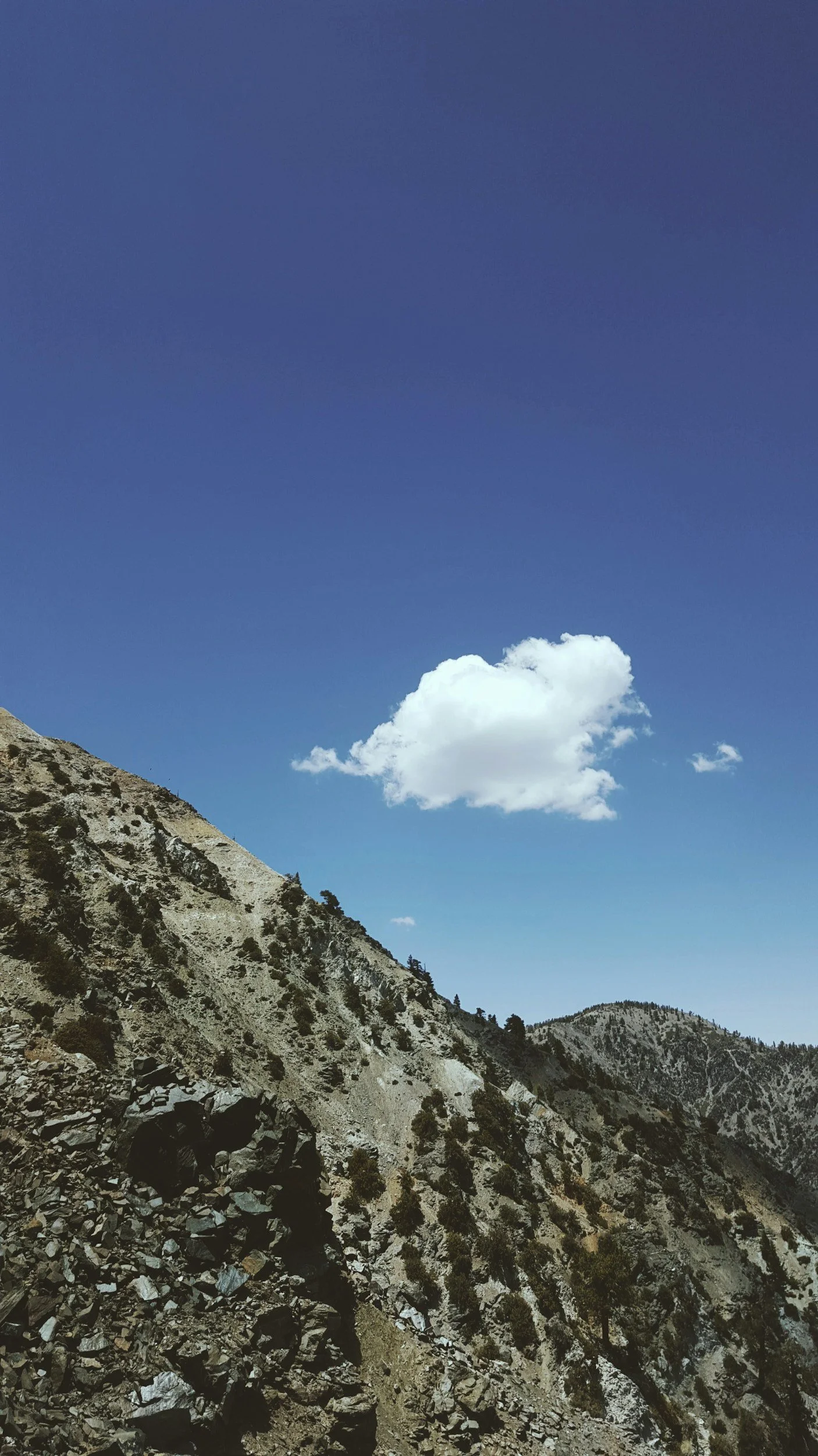
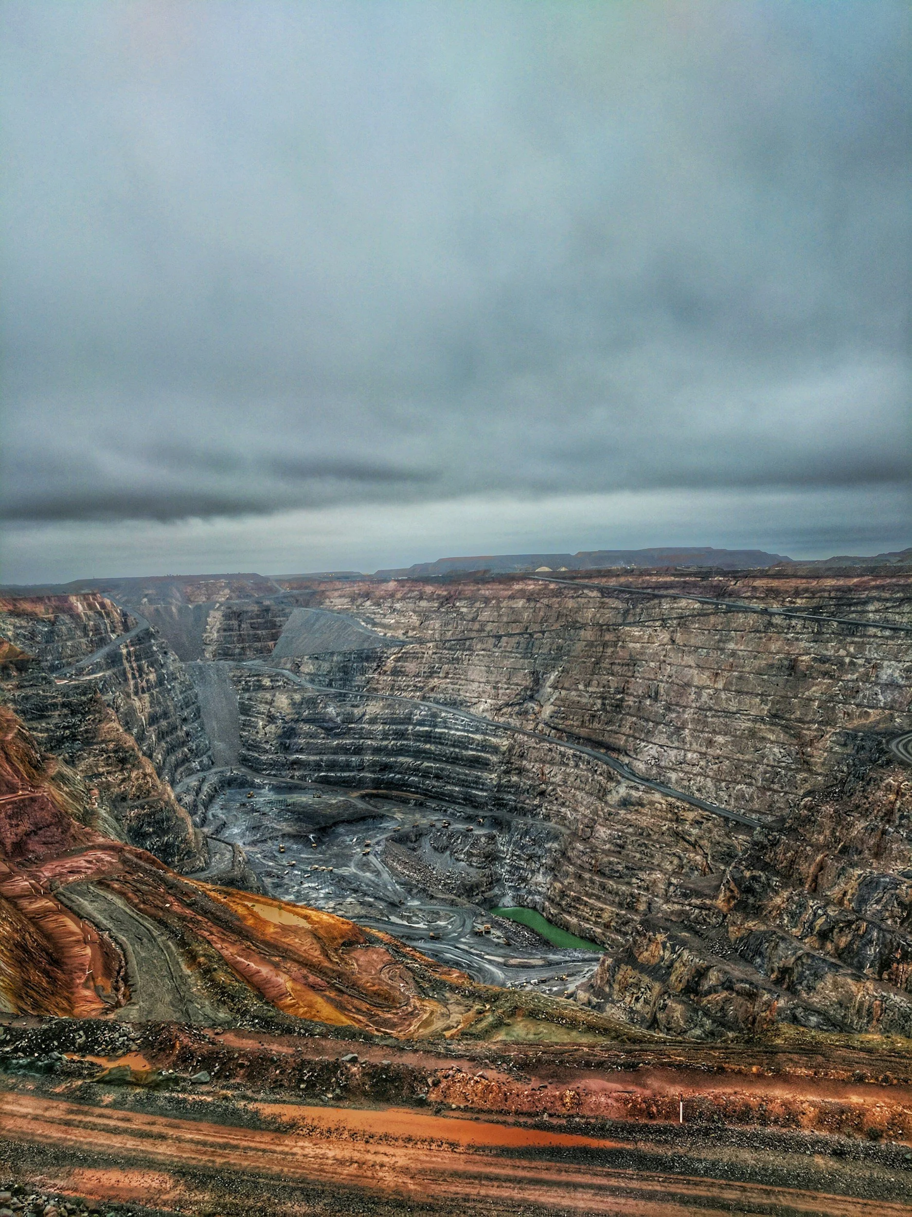
The Lone Pine Canyon Quarry proposal has raised concerns about excavation reaching approximately 1,600 feet below the surrounding surface.
On average the recorded private-well depth in Lytle Creek is approximately 261 feet.
Well depth alone does not establish whether the quarry would affect Lytle Creek's water supply. However, the difference highlights why understanding the region's underground geology and groundwater movement is so important.
If mining intersects groundwater-bearing formations, excavation or associated water-management activities could potentially alter groundwater movement or levels.
Depending on the actual geological connections, changes could affect springs, wells, and groundwater recharge.
The critical question is whether mining-related groundwater changes could extend beyond the quarry property and affect neighboring communities.
We believe this question must be answered through independent, site-specific groundwater modeling
2. COULD DEEP MINING AFFECT OUR WATER TABLE?
A Small Mountain Water System With Limited Reserves
Unlike large cities with extensive municipal water infrastructure, Lytle Creek relies on a smaller, decentralized water system.
The community's water infrastructure includes:
Two community groundwater wells supplying the Lytle Springs Water Company.
Two steel water-storage tanks supporting the community system.
Six booster pumps and three pressure tanks helping maintain water pressure across different elevations.
Approximately 89 private and small-system wells serving properties throughout the canyon.
There are approximately 120–140 service connections within the Lytle Springs Water Company system, along with additional residents who rely on private wells.
These are not unlimited water supplies. They depend on groundwater availability and functioning pumping and storage equipment.
When groundwater levels change, mountain communities may have fewer alternatives than larger municipal water systems.
3. MOUNTAIN WATER SYSTEMS ARE INTERCONNECTED
Water Doesn't Follow Property Lines
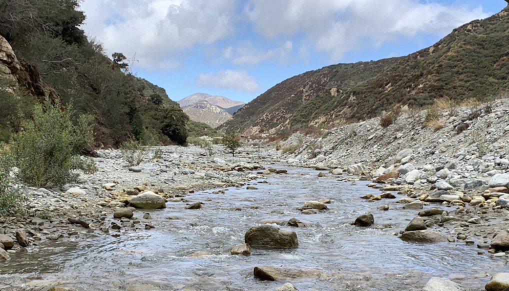
Lone Pine Canyon, Cajon Pass, and Lytle Creek are part of a complex mountain landscape shaped by geological faults, fractured rock, and interconnected sag ponds and drainage systems.
Groundwater can move through fractures in bedrock and permeable sediments, sometimes connecting areas that appear separate on the surface.
Regional groundwater basins, fault-controlled water pathways, and surface-water connections are important factors requiring investigation.
These geological features raise questions about how excavation in Lone Pine Canyon could influence water movement elsewhere.
A quarry's environmental impacts cannot be understood by looking only at the boundaries of the mine.
We are asking the County to investigate potential groundwater connections between Lone Pine Canyon and Lytle Creek before making decisions that could have long-lasting consequences.
4. WHAT HAPPENS TO LYTLE CREEK’S WATER DURING A WILDFIRE?
Reliable Water Pressure Is a Public Safety Issue
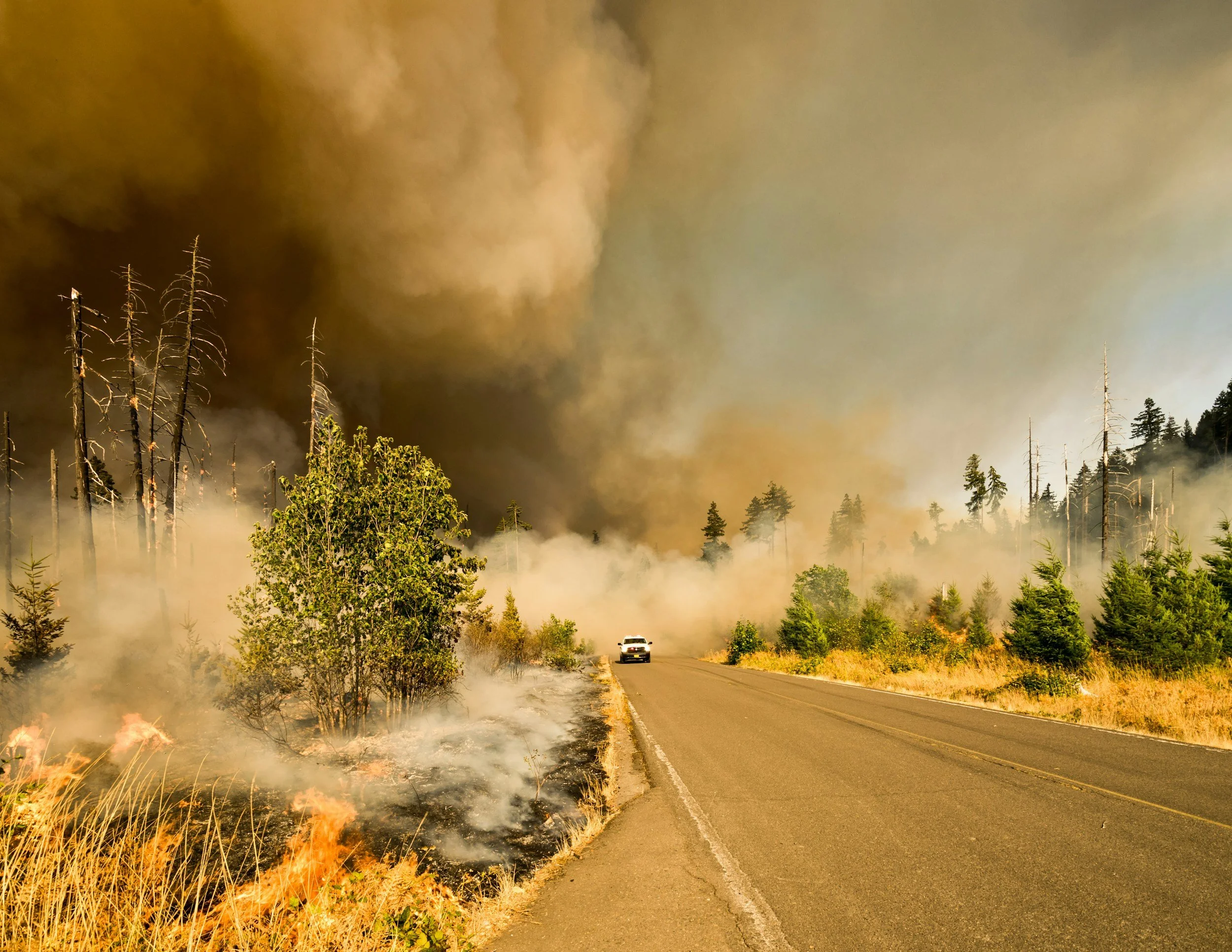
For communities surrounded by mountains and vulnerable to wildfire, water availability is more than a convenience. It is a matter of public safety.
Lytle Creek relies on groundwater wells, storage tanks, and pumping equipment to supply and pressurize portions of its water system.
If groundwater levels were significantly reduced, affected wells could produce less water. Depending on system capacity and operating conditions, that could make it more difficult to replenish storage or maintain reliable service.
During a wildfire, interruptions to water availability could have particularly serious consequences.
We need to know whether the proposed quarry could affect the water resources and infrastructure our community depends on during emergencies.
The County must evaluate potential effects on water supply reliability, emergency water availability, and wildfire response—not simply ordinary daily water use.
5. WHAT ABOUT WATER CONTAMINATION?
Blasting, Heavy Equipment, Fuel Storage, and Runoff
Water quantity is only part of the concern. Water quality matters just as much.
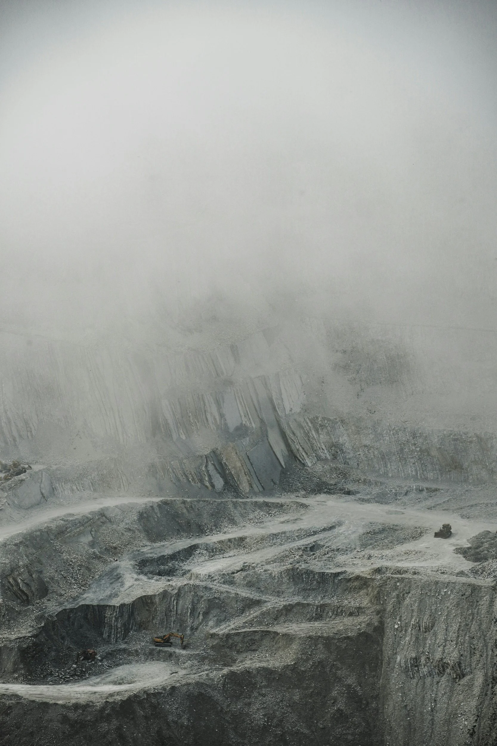
The proposed quarry would involve industrial activities that warrant careful evaluation, including blasting, heavy machinery, fuel handling, and excavation of rock formations.
Potential issues requiring investigation include:
Blasting Residues
Explosives used in mining can introduce nitrogen compounds. The County should evaluate whether blasting residues could migrate into groundwater or surface-water drainage systems.
Diesel Fuel and Industrial Runoff
Heavy equipment, generators, and fuel-storage operations create potential spill and runoff risks. Appropriate containment, monitoring, and emergency-response measures are essential.
Naturally Occurring Minerals
Excavation may disturb mineral-bearing rock. LPCPA's fact sheet raises concerns about naturally occurring actinolite and potential asbestos-related hazards that warrant site-specific geological investigation.
6. WHY WE ARE DEMANDING A FULL ENVIRONMENTAL IMPACT REPORT
Our Communities Deserve Answers Before Decisions Are Made
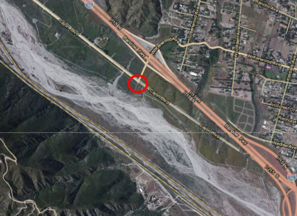
There are many concerns about the groundwater information used in the County's environmental analysis, including reliance on a monitoring well identified as “Kenwood 2,” reportedly located approximately seven miles from the quarry.
The off-site “Kenwood2 Well” report mentions shallow groundwater and perennial sag ponds in Lone Pine Canyon.
These discrepancies raise important questions about whether existing groundwater data adequately represents conditions at the proposed mining site.
The Santa Ana Regional Water Quality Control Board's concerns, as described in LPCPA's materials, further reinforce the need for careful investigation.
We are calling on San Bernardino County to require:
A full Environmental Impact Report (EIR).
Independent, on-site groundwater investigations.
Groundwater modeling that evaluates potential connections to Lytle Creek and surrounding communities.
Analysis of possible impacts on private wells, community water systems, and springs.
Evaluation of water contamination risks and emergency water-supply reliability.
Meaningful public participation before decisions are finalized.
A mining operation proposed to last nearly a century and a half deserves environmental analysis that looks beyond the mine property and considers the communities that could be affected.

7. PROTECTING THE AIR WE BREATHE
What Could 148 Years of Mining Mean for Lytle Creek's Air Quality?
Lytle Creek is surrounded by the natural beauty of the San Gabriel Mountains, where residents and visitors come to enjoy fresh mountain air, outdoor recreation, and a quieter way of life.
The proposed Lone Pine Canyon Quarry raises serious concerns about how decades of industrial mining could affect air quality in surrounding mountain communities.
Mining doesn't just disturb the land. It can release pollutants into the air that travel beyond the boundaries of the quarry.
Silica Dust and Airborne Particles
Excavation, blasting, crushing, and hauling rock can generate substantial amounts of airborne dust, including fine particulate matter (PM2.5 and PM10) and potentially respirable crystalline silica.
These particles can pose health risks when inhaled. Fine particulate matter can aggravate asthma and other respiratory conditions, while prolonged exposure to respirable crystalline silica can cause serious lung disease.
The amount of dust reaching Lytle Creek would depend on wind patterns, terrain, mining operations, and the effectiveness of dust-control measures.
We believe residents deserve independent air-quality analysis that evaluates potential exposure throughout surrounding communities—not just at the quarry property line.
Diesel Exhaust and Industrial Emissions
A large-scale mining operation requires heavy machinery, haul trucks, and other industrial equipment.
These activities can produce diesel exhaust, nitrogen oxides, and fine particulate pollution.
Children, older adults, and individuals with existing respiratory conditions may be particularly vulnerable to air pollution.
The County must evaluate the cumulative effects of these emissions over the proposed mine's operating life.
Mountain Winds and Air Pollution
Mountain communities experience complex wind patterns shaped by canyon walls, elevation changes, and daily temperature shifts.
Under certain conditions, these winds can transport airborne dust and pollutants between neighboring areas. Temperature inversions can also trap pollution closer to the ground.
Could dust and emissions from the proposed quarry reach Lytle Creek?
That question deserves a scientific answer based on local meteorological data, terrain, and air-dispersion modeling.
What We Are Asking San Bernardino County to Do
Before approving the proposed quarry's Reclamation Plan, LPCPA is calling for:
A comprehensive Environmental Impact Report (EIR) evaluating potential air-quality impacts.
Independent air-dispersion modeling that considers Lytle Creek and other surrounding communities.
Analysis of PM2.5, PM10, respirable crystalline silica, and diesel-related emissions.
Evaluation of local wind patterns, temperature inversions, and cumulative pollution.
Enforceable dust-control measures and appropriate ongoing air-quality monitoring

8. LYTLE CREEK, WE NEED YOUR VOICE
Protect the Water and Clean Air That Sustains Our Community
The people of Lytle Creek deserve to know whether the proposed Lone Pine Canyon Quarry could affect the groundwater they rely on.
You do not need to be a scientist, attorney, or environmental expert to ask questions about your drinking water, air quality and your community's safety.
Here how you can take action:
Contact San Bernardino County
Ask for a full Environmental Impact Report and independent groundwater modeling addressing Lytle Creek.
Reference Project #MRP-2025-00002 in your correspondence.
County Planning Contact
Derek Newland
(909) 387-8311
Derek.Newland@lus.sbcounty.gov
Third District Supervisor Dawn Rowe
(909) 387-4855
Supervisor.Rowe@sbcounty.gov
Join the Lone Pine Canyon Protection Alliance
Learn more about the proposed quarry, sign up for our newsletter, volunteer, and help protect our shared mountain environment.
Visit: www.nomineinlonepine.com
Donate: https://givebutter.com/lone-pine-canyon-protection-alliance-qpd5es
The Water and Air We Protect Today Is the Water and Air Our Families Depend On Tomorrow.
Lone Pine Canyon and Lytle Creek are neighboring communities with a shared interest in protecting our mountains, water resources, and future.
We cannot afford to discover the consequences of inadequate environmental review after the damage has been done.
OUR WATER. OUR COMMUNITIES. OUR FUTURE.